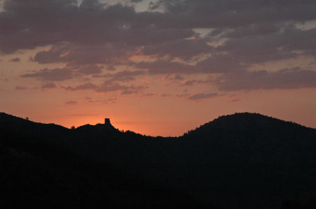
Mark and Aid awoke at 05:30 and were away in the getaway car (parked outside the camping) at 6:00. By 07:00 we had driven up through Corsavy and on, up and up, to the Col de la Descarga, where we parked the car, donned our walking boots, and were off. But there was time to snap the sunrise beyond the Tour de Batère.
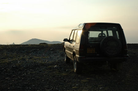
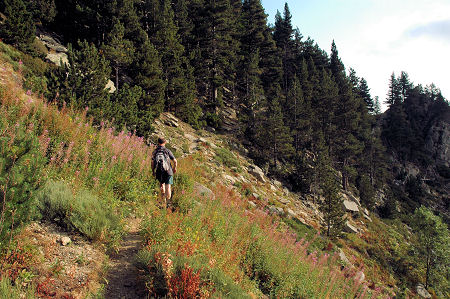
We followed the GR10 long distance footpath, past the gite d'etape at Batère towards the Col de la Cirère - only a kilometre away on the map, but signed at 45 minutes (and it took us 55!). It was, of course, 350m higher than the car (and Naismith's formula would allow an hour for this!).On the way up, a Discovery was parked with the just-risen sun glinting. (Like the Defender Trophy we saw yesterday, it's from a 4x4 dealership in Perpignan who clearly specialise in Land Rovers). (Another pic for Laurie!)
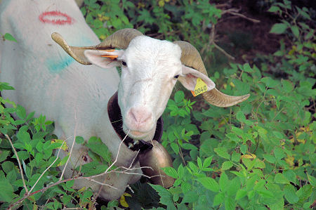
Beyond the Col the path ran fairly level through the pine forest, on a path called the Balcon du Canigou. We were surprised to find a flock of sheep (or maybe goats - they looked like goats but they had wool...)
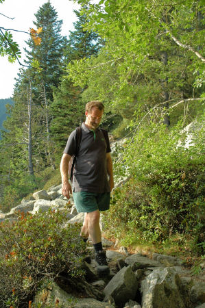
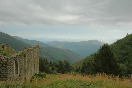
The path was rocky and slow going, and you tended to look down rather than ahead. Actually this wasn't a problem as the clouds were low and / or it was hazy, and the views were very limited.
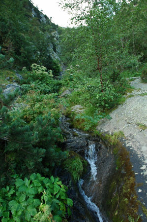
We crossed mountain streams (well, mountain is obvious at 1,700m)
The path skirted the hillside, gradually descending (with the occasional quick downhill, zigzagging) until we reached the Refuge Forestier de l'Estanyol.
At the Refuge we had second breakfast - plums and apricots - and a conflab. It had taken 2 hours to cover 2 miles, and we clearly weren't going to be able to cover the sort of distances we take for granted on level ground at home. (We'd like to attribute this in part to the high altitude, but I think that fitness is a more probable cause).
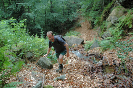
So we opted for a circular route, using smaller paths, back to the car. The first bit dropped steeply into the valley, into the ravine that we'd crossed higher up. Then a climb (another climb!) past a rusting bus (how did they get that up here?) to a massive old iron mine of la Pinosa.
This is where it went a bit awry, despite good maps, 2 heads, and GPS. The GPS had trouble with the tree cover, and in any case we had only programmed in an end point. We went off in what seemed the right direction, following the stream uphill. However, the path soon ran out and we scrambled up through the trees, slipping on beech leaves on wet rock, at times on all fours dragging ourselves from tree to tree, at times walking up the stream bed. At times it seemed impossible to go further up, but more impossible to go back down. Eventually we found a clearing, got a GPS fix, and realised we'd gone almost south rather than south-east. Luckily, a final push through the undergrowth brought us to a small horizontal path which we were able to follow until we rejoined the correct route.
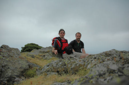
From here we skirted the hillside, stopping for the team photo, before climbing again to Puig de l'Estelle.
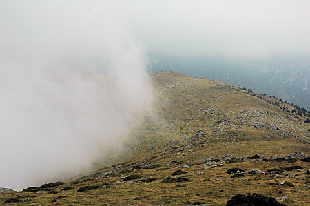
Puig de l'Estelle was threatened with cloud rolling in from the south, but it never quite rolled over the top, and we pushed on to the top.
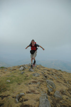
At the top there's a viewpoint - but not much view. Mark managed to catch me falling off the marker rock.
And then it was a straightforward ridge walk along and then down to the Tour de Barere, and a level walk down the track back to the car, and I was glad it was Mark driving down to the campsite as I snoozed my way home.
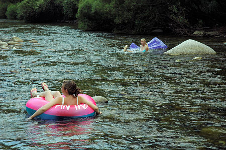
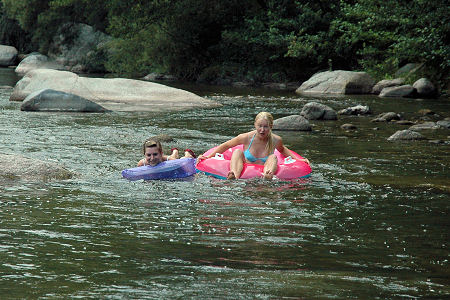
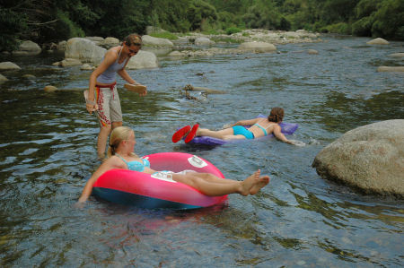
We rejoined the others who had just had lunch, and after lunching ourselves we all went down to the Tech where the girls raced Lilo Lil against Fred the Ring.